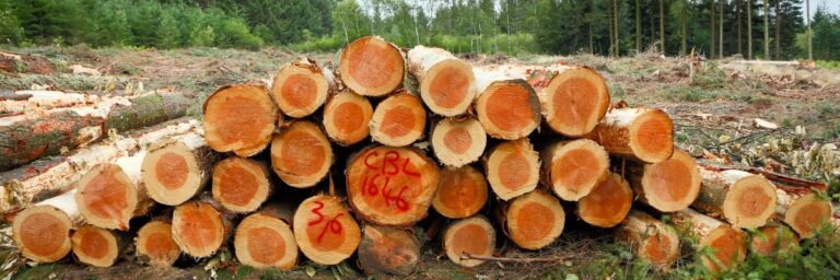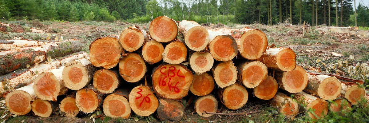
Welcome to Lim Geomatics, your premier destination for cutting-edge forestry solutions. At limgeomatics.com, we understand the vital role forests play in sustaining our planet and supporting countless ecosystems. That’s why we’re dedicated to providing innovative software and technologies tailored to optimize forest management practices.
The Power of Stratus Forest Management Software
At the heart of our offerings is Stratus Forest Management Software. Stratus is a comprehensive platform designed to streamline and enhance every aspect of forest management. Whether you’re a timber company, government agency, or conservation organization, Stratus empowers you to make informed decisions and maximize the value of your forest resources.
With Stratus, you can efficiently plan and monitor harvesting activities, track inventory levels, analyze spatial data, and collaborate with stakeholders. Its intuitive interface and robust features make it a valuable tool for forestry professionals seeking to optimize operations and achieve sustainable forest management goals.
Empowering Timber Cruising with Prism Software
In addition to Stratus, Lim Geomatics offers Prism Timber Cruising Software, a specialized solution for timber cruising and inventory assessment. Prism enables foresters to accurately measure and evaluate standing timber, improving inventory accuracy and informing decision-making processes.
By leveraging Prism’s advanced algorithms and customizable data collection tools, forestry professionals can streamline field data collection, reduce errors, and expedite the timber cruising process. Whether conducting a single stand assessment or a large-scale inventory operation, Prism equips users with the tools they need to succeed.
Revolutionizing Forestry Lidar with AFRIDS
Forestry Lidar technology has transformed the way we perceive and manage forest ecosystems. Lim Geomatics’ AFRIDS (Airborne Forest Resource Information Delivery System) is a state-of-the-art Lidar solution designed specifically for forestry applications.
AFRIDS utilizes cutting-edge remote sensing technology to capture highly accurate 3D data of forested landscapes. This data can be used to assess forest structure, monitor vegetation health, and identify potential hazards such as insect infestations or disease outbreaks.
Optimizing Trucking Operations with OTT Telematics
Efficient transportation is essential for the timber industry, and Lim Geomatics’ OTT (Onboard Truck Telematics) solution is here to help. OTT provides real-time monitoring and analysis of trucking operations, allowing companies to optimize routes, reduce fuel consumption, and improve overall efficiency.
By leveraging advanced telematics technology, OTT enables forestry companies to track vehicle performance, monitor driver behavior, and ensure compliance with regulations. This actionable data empowers organizations to make data-driven decisions that drive productivity and reduce costs.
Conclusion
Lim Geomatics is committed to empowering forestry professionals with the tools and technologies they need to succeed in a rapidly evolving industry. From Stratus Forest Management Software to specialized solutions like Prism, AFRIDS, and OTT, we offer a comprehensive suite of products designed to enhance efficiency, promote sustainability, and maximize the value of forest resources.
Join us in our mission to create a more sustainable future for forests and the communities that depend on them. Visit www.limgeomatics.com to learn more about our products and services.